
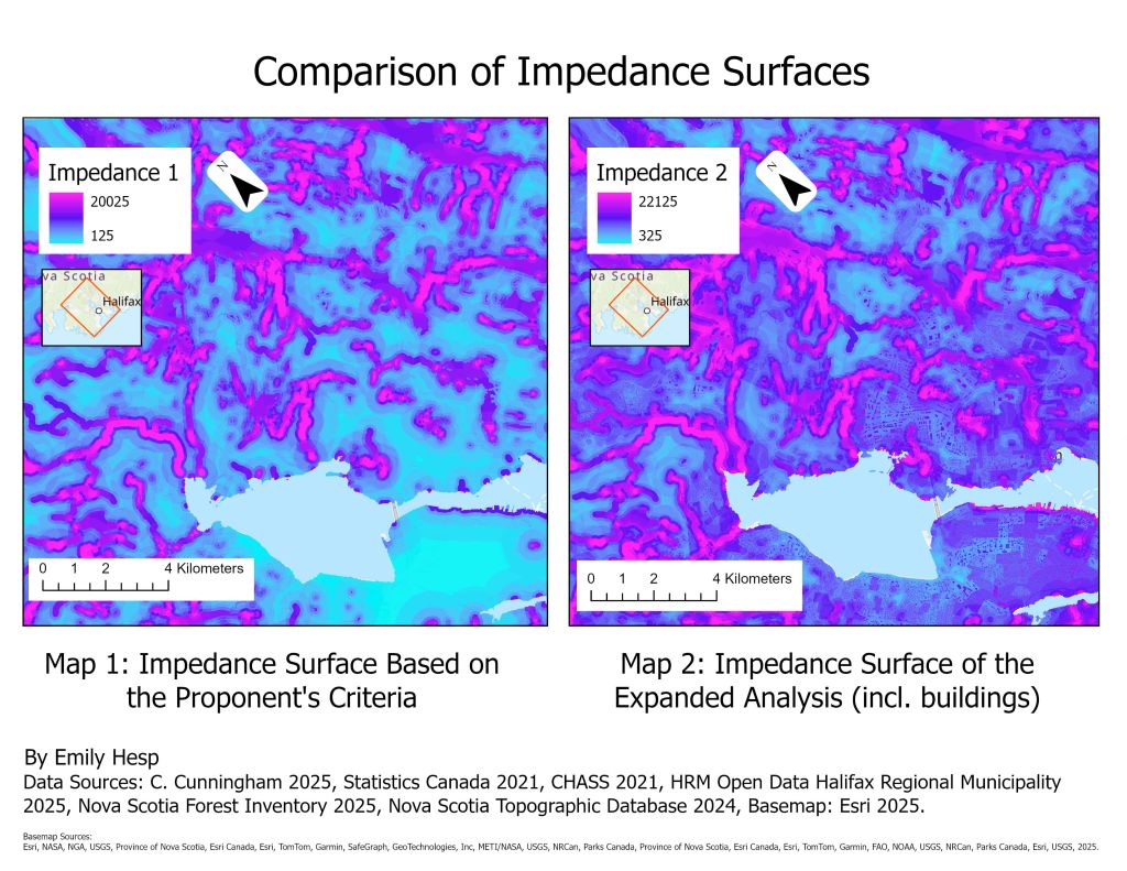
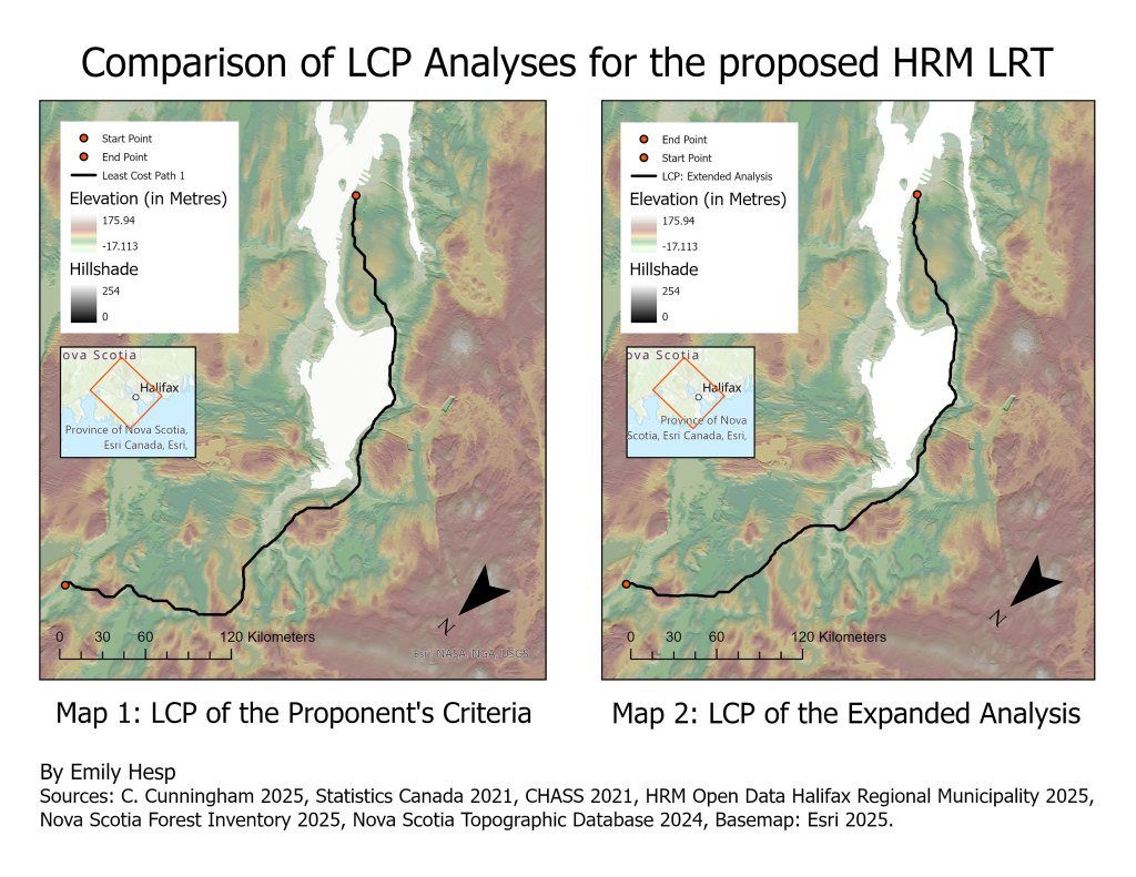
This project was completed for one of the two Independent Projects assigned in my Geographic Information and Mapping II course last year. These projects had us apply the theory and ArcGIS pro techniques we learned to analyze spatial data for a given scenario. For this particular project, students were expected to apply their knowledge of advance raster operations, cost surfaces and data preparation to complete a geospatial model of a new Light Rail Transit line. This proposed LRT line would connect the peri-urban edge of the Halifax Regional Municipality to its downtown centre.
This project was very fun to complete, and it definitely motivated me to continue exploring topics in economic geography through coursework and independent research. I hope to learn more about Transit Oriented Communities through my own research in the future.
I have included the two maps created for this project below. If you have any thoughts, questions about the methods, or suggestions, feel free to comment or email me!

Leave a comment